|
Indian Creek RoadOn Thursday, 2/2/12, I received a new trail report from our (quickly becoming!) regular contributor, Randall Warren. Randall explored an area in the Pisgah National Forest, in Southwestern North Carolina, from Balsam Grove to the Fish Hatchery in Brevard. As always, I have neither verified the accuracy of the descriptions nor checked for legal vehicle travel, I feel obligated to state the obvious...Use the following information at your own risk. And now, I give you Randall: From Rosman, North Carolina, take NC 215 ten miles north to the community of Balsam Grove. Less than a mile north out of Balsam Grove, turn right on State Road 1321, also known as Indian Creek Road. This is an easy drive, just gravel and a few pot holes, and could be done in any car. In 2.6 miles you intersect with FR 475 and SR 1327. 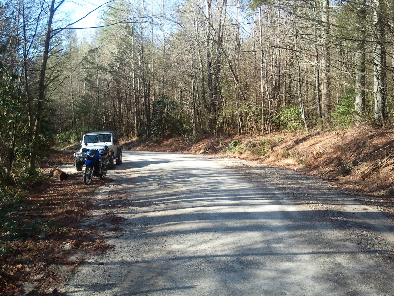 Indian Creek Road 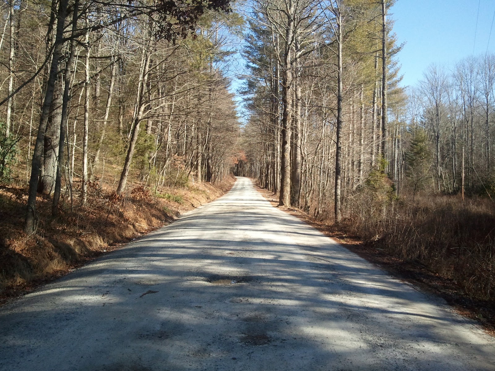 Indian Creek Road Turn left on FR 475. This road can also be driven by most cars. In one mile, FR 475 intersects with FR 229 turning left and going 2.75 miles up the mountain to the Deep Gap parking area at the top of the mountain. The road is somewhat rocky and I would recommend good tires, though ground clearance should not be an issue. Good views of the mountains through the trees on the way up. When you come back down the mountain, you can continue straight from FR 229 onto FR 471 (Georgia Overland note: FR 471 is not shown on Google Maps, but is displayed on the Pisgah National Forest map linked below). FR 471 travels southeast for 7.7 miles back to US 64 outside of Brevard, North Carolina. This road can be done by any vehicle. There are many places to fish on this road, though there may be a fee required. 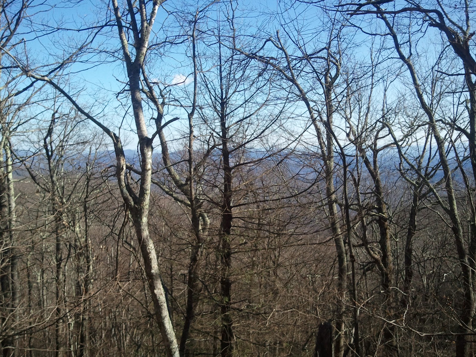 FR 229 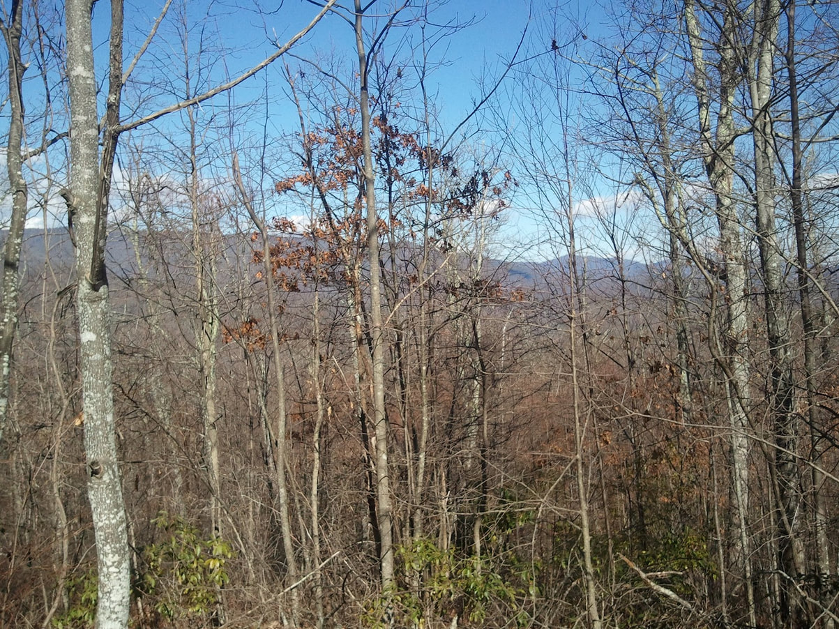 FR 229 If you turn left from FR 229 back onto FR 475, FR 475 will continue on for about 4.5 miles before it turns into pavement right before you get to the Fish Hatchery. If you continue on, it will lead you to US 276 north of Brevard. There are many places to park throughout this area. Most of the roads that are gated can be used for hiking or mountain biking. I recommend the Trails Illustrated map # 780 from National Geographic. It has all of the roads listed and it lists the roads that are hiking only. The roads in this area are well marked so there is little chance of getting lost. The map for the area is found here: 2001 Pisgah National Forest - Pisgah Ranger District (North Carolina)
Thank you, Randall! Comments are closed.
|
Archives
February 2020
|
 RSS Feed
DISCLAIMER | ABOUT | THE ADVENTURE TRAVEL LIBRARY
Copyright © 2010-2023 All Rights Reserved David Giguere | Georgia Overland | Georgia Traverse™
All materials on this site are protected by copyright and intellectual property laws and are the property of David Giguere.
Unless stated otherwise, you may access and download the materials located on www.georgiaoverland.com only for personal, non-commercial use.
You may not reproduce this material on your personal website, blog, social network, or any other online, offline, digital or print resource without permission granted by David Giguere.