|
I heard from our friend Randall again and this time he shares his notes following his exploration of 'Pisgah East'. As always, I have neither verified the accuracy of the descriptions nor checked for legal vehicle travel, I feel obligated to state the obvious...Use the following information at your own risk. Randall writes: This is FR 477 to FR 1206 starting in Brevard and ending in the North Mills Recreation Area. FR 5000 out of North Mills will take you to Lake Powhatan. I'll try to add this on at some point in time, when I can check it out. FR 477 is about eight miles long, FR 1206 is about 8.5 miles and FR 5000 appears to be about 7-8 miles, so combined that would be about 25 miles of gravel road with a minimum of pavement. From the Hwy 276/64 split in Brevard, take Hwy 276 north into Pisgah Forest. After 2.5 miles turn right on FR 477. This is just after the Ranger Station. There are campsites and stables for about the first two miles. After this, you start to climb up a mountain. Pretty easy going though. This road is pretty smooth and in good shape. It can be done in any type of vehicle. Nice views on top of the mountain. After about eight miles you arrive back on Hwy 276. Turn right, back onto Hwy 276 north. The Cradle of Forestry will be on the right. It opens on April 14th.(Side note, stay on Hwy 276 for four miles to access the Blue Ridge Parkway). After about 1/2 mile, turn right onto FR 1206. There are some nice campsites on this road. Signs indicate first come, first served but you may want to double-check. At the 3.5 mile mark, there are some new gate posts. I'm guessing this road may become open seasonally in the future. Smooth gravel, any vehicle could travel this road. This road goes in between two sets of mountains, and has a good wilderness feel to it. This road goes for about 8.5 miles. You'll come out at the North Mills Recreation Area. Continue east to Interstate 26 or north on FR 5000 to the Lake Powhatan area. I'll add FR 5000 on when I get a chance. Lots of opportunity for hiking and mountain biking in this area. Not sure how the fishing is, may want to research it. And Randall included these pics: 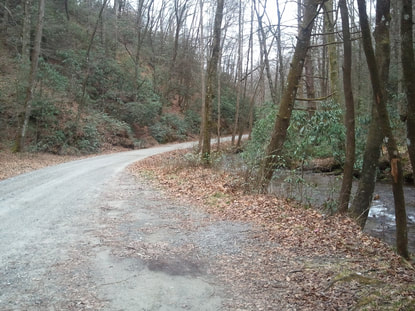 FR 477 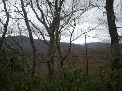 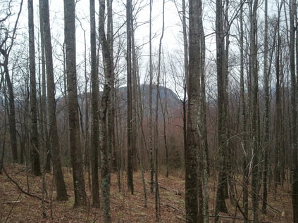 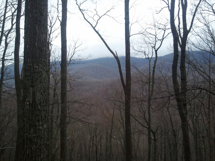 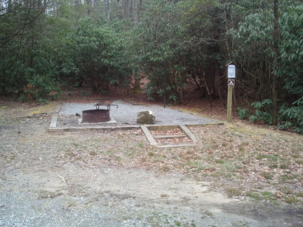 FR 1206 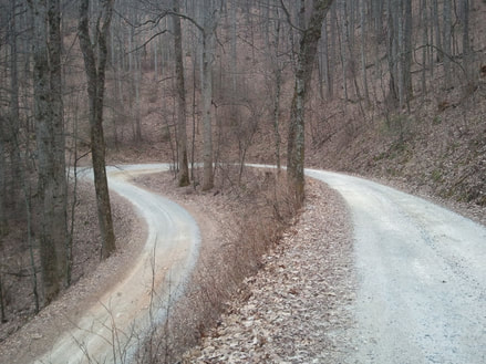 FR 1206 Comments are closed.
|
Archives
February 2020
|
 RSS Feed
DISCLAIMER | ABOUT | THE ADVENTURE TRAVEL LIBRARY
Copyright © 2010-2023 All Rights Reserved David Giguere | Georgia Overland | Georgia Traverse™
All materials on this site are protected by copyright and intellectual property laws and are the property of David Giguere.
Unless stated otherwise, you may access and download the materials located on www.georgiaoverland.com only for personal, non-commercial use.
You may not reproduce this material on your personal website, blog, social network, or any other online, offline, digital or print resource without permission granted by David Giguere.